
Aptos, California. The pier you see is the cement boat on Sea Cliff Beach. |

Elkhorn Slough. The Moss Landing power plant is on the right of the inlet. |
Aerial Photos of California
|
January 4, 2005 10:00 - On the plane back from Palm Springs I had a chance to get some fantastic airborne photos out the window of our Alaska Airlines flight. I've put them here for you to enjoy. Each of the images here is a small sample of a much larger image. Click the images on this page to see the bigger version.
|
Aptos, California. The pier you see is the cement boat on Sea Cliff Beach. |
Elkhorn Slough. The Moss Landing power plant is on the right of the inlet. |

Lexington Reservoir, Los Gatos |

Lake Ranch Reservoir, Los Gatos |
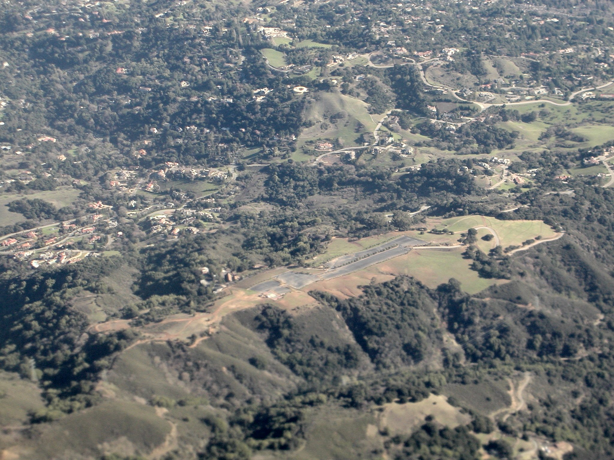
Paul Mason Winery, Saratoga, California (That grey scar is the parking lot.) |

Saratoga, California (I think.) This is where I live. |
Sand Hill Road and 280, Menlo Park, California |

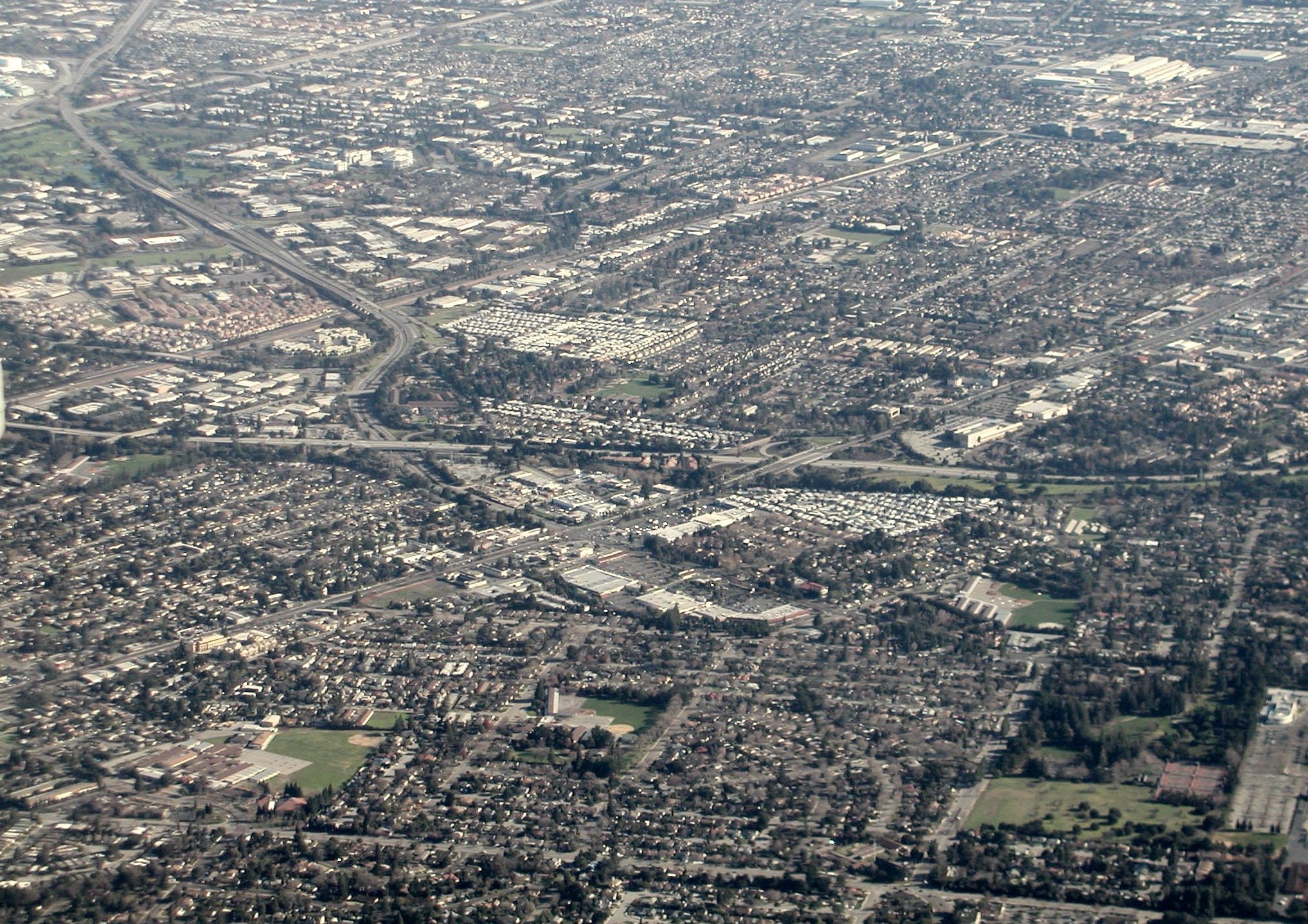
Moffett Field, Mountain View, California |

Steven's Creek Reservoir, Cupertino, California |

Cooley Landing, Redwood City, California |

HW84 and South, Redwood City, California |

The San Mateo Bridge, California |